On Skipperblogs you can personalize the look of the live map. You can change the map background, the icon of your boat and many other settings.
Go on the page DashboardNavigation Map (https://www.skipperblogs.com/dashboard/nav/map-editor)
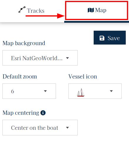
In the floating panel on the left, click on the Map tab.

Background

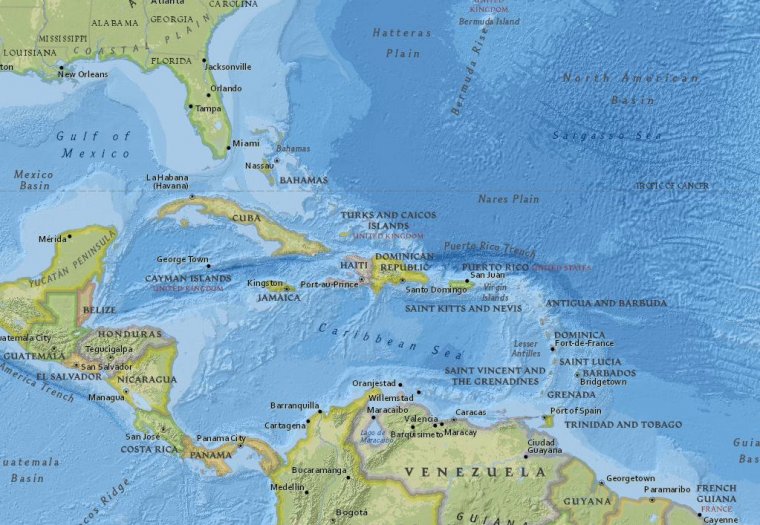
You can choose between many different map backgrounds. Select a background to preview it. Some base maps require additional steps in order to work; such as the Windy weather map which require a registration by Windy.com, to obtain an identification API key.
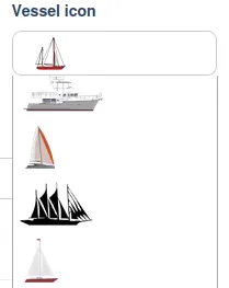
Once your map background is set, choose a Vessel icon and change the track(s) color accordingly. That way you keep a good constrast and your boat and it's track remain clearly visible.
Map centering
This setting defines whether, when loaded on your website, the map should center on your boat or display the entire track (your voyage). In the first case, you can also define the zoom level.
Default zoom
This is the zoom level of the map when it is loaded on your site for your visitors. The display between the map editor and the map on your site is a bit different, so we recommend to save your settings and see the results on your website to find the zoom level that will suit you.
The default zoom level is disabled when using Display the entire track from Map centering.
Vessel icon
![]()
You can choose among different icons for your boat. Custom icon/image can be uploaded with a Pro subscription.
Navigation stats
The statistics gather a set of data from your tracking track. As you travel, these data are updated. You can decide whether or not to display the statistics block on the map as well as its location at one of the four corners. You can also decide which data you want to display or not.
